File:Nbcc ca mobi map-SJ-03.png
From Ideaspace Wiki
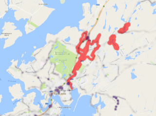
Size of this preview: 800 × 596 pixels. Other resolutions: 320 × 238 pixels | 1,205 × 898 pixels.
Original file (1,205 × 898 pixels, file size: 676 KB, MIME type: image/png)
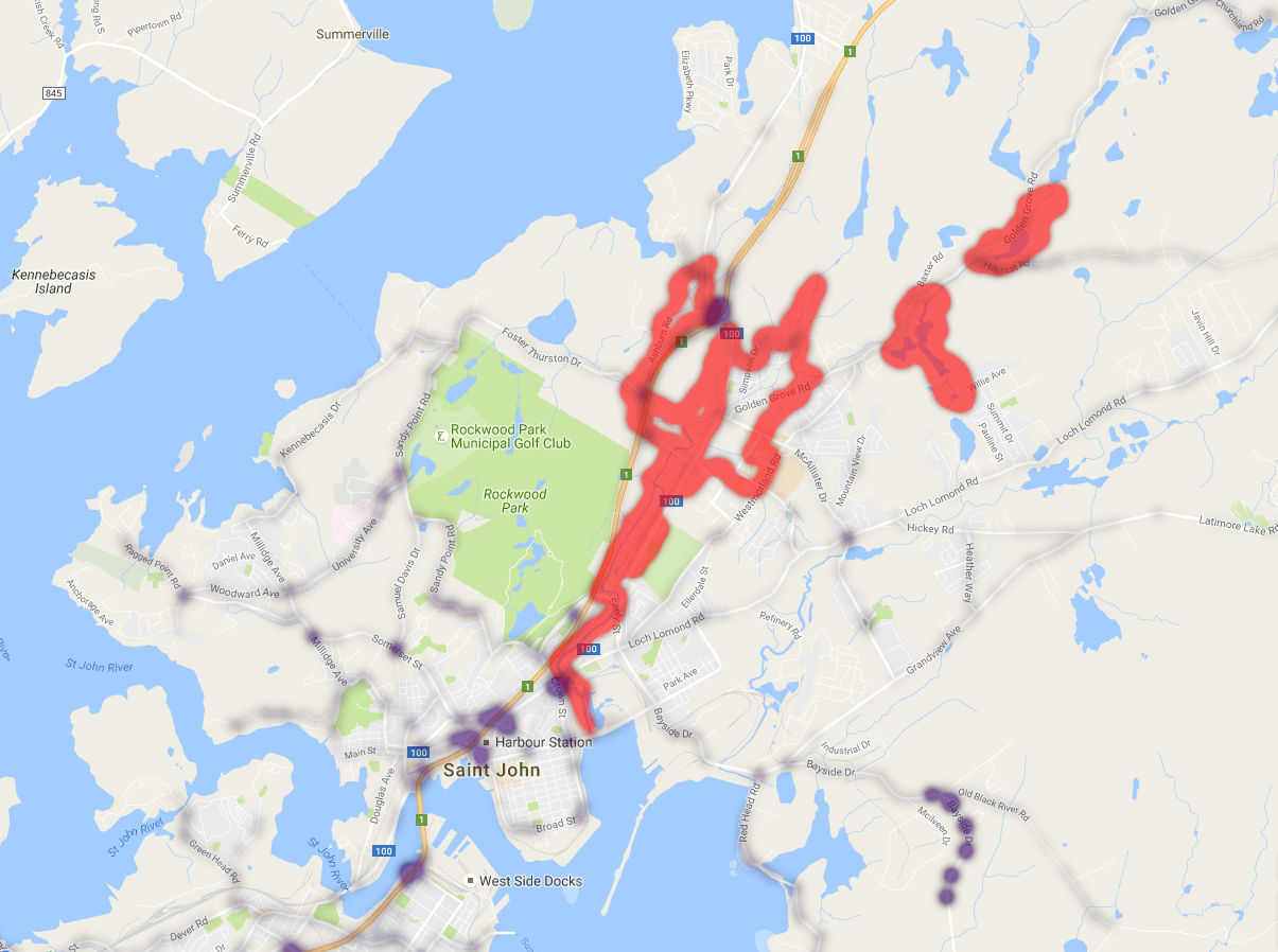
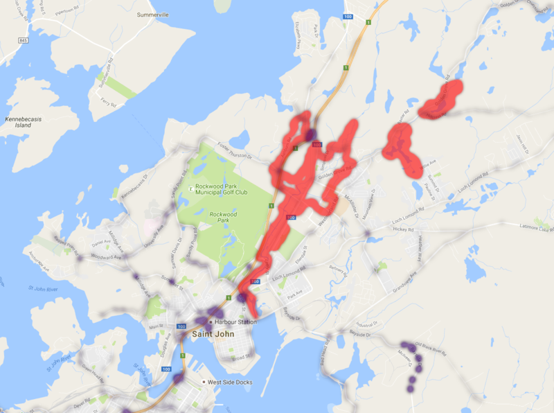
Map 3. Evacuation routes superimposed on flood plains in Saint John, New Brunswick. We used this for the Open Data Visualization project.
File history
Click on a date/time to view the file as it appeared at that time.
| Date/Time | Thumbnail | Dimensions | User | Comment | |
|---|---|---|---|---|---|
| current | 09:27, 15 April 2017 | | 1,205 × 898 (676 KB) | Bill.mciver (talk | contribs) | Map 3. Evacuation routes superimposed on flood plains in Saint John, New Brunswick. We used this for the Open Data Visualization project. |
- You cannot overwrite this file.
File usage
The following page links to this file: